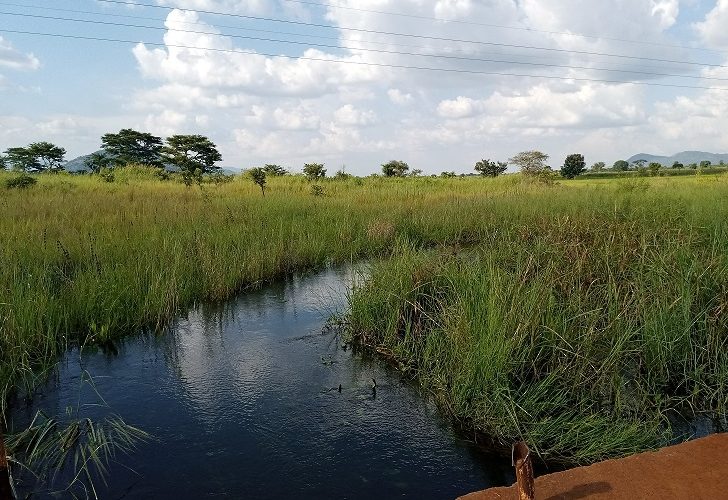
Wetlands International through the Ecosystem Disaster Risk Reduction (Eco-DRR) project, in collaboration with the Upper Nile Water Management Zone, Ministry of Water and Environment, is supporting Abim District Local Government to develop management plans for three micro-catchments that form part of the numerous wetlands that feed into the River Nile system. The five-year plans for Loyoroit, Odongi and Angaro micro-catchments will be developed following the 2014 Uganda Catchment Planning Guidelines.
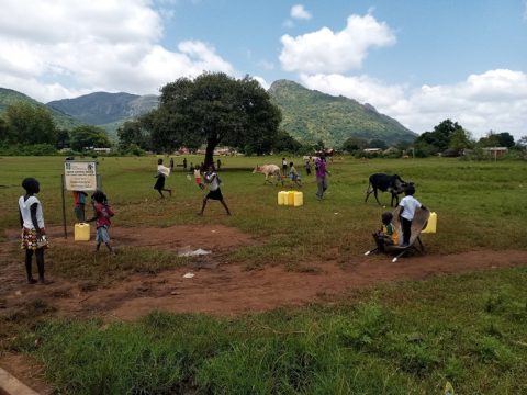
Covering a total area of 611 square kilometres, these micro-catchments provide basic ecosystem services for 160,000 people in Abim in Northern Uganda. The services include rain-fed agriculture, provision of domestic water supply, watering livestock, small-scale irrigation, non-timber forest products such shea nut butter for beauty industry, charcoal and wood fuel for household cooking, raw materials for the local handicraft industry , mudfish, clay and sand for construction.

Local communities depend on the riverine micro-catchments for numerous basic services
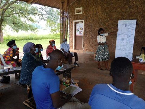
Coordinated by Upper Nile Water Management Zone, the planning process that is inclusive, consultative, participatory and gender-responsive will be concluded end August 2020. During the initial consultations, the participants helped identify the key issues, challenges, threats, opportunities and solutions.
The main environmental issues include vegetation degradation leading to soil erosion, unregulated charcoal production, reduced yield of boreholes particularly during the dry season, poor solid waste management, pollution of water sources, siltation of existing communal water dams, wetland degradation due to human encroachment for cultivation, unsustainable wood fuel and timber harvesting, dry season bush burning for pasture rejuvenation that causes accidental forest fires and overgrazing of rangelands by livestock.
Further, the main vulnerabilities and challenges are related to flooding, drought, heavy dependence on rain-fed agriculture, climate change and variability in seasonal rainfall and social conflicts related to land ownership and availability, human-wildlife conflicts, high poverty levels and poor hygiene and sanitation.

Involving the community and other stakeholders in resource mapping exercises and other processes is vital for the success of developing an inclusive and consultative management plan
Field visits will be conducted to assess the overall condition and characteristics of the wetlands, the social and environmental issues and water analysis of the three wetlands to develop situational reports. These reports will be presented for discussion, review and validation by the various stakeholders.
Once finalised, the three management plans will contain agreed interventions and actions to help resolve conflict, conserve and protect the micro-catchments and their respective natural resources therein, and ensure equitable access to and sustainable access to wetlands, forest water and land resources.
The Eco-DRR project uses an Integrated Risk Management (IRM) approach that involves ecosystem management and restoration, climate change adaptation and mitigation, and disaster risk reduction while mainstreaming gender in all its activities.

